Okresy Srí Lanky – přehled, rozdělení, počet a správa
Komplexní přehled okresů Srí Lanky: rozdělení do 9 provincií, 25 okresů, role okresních tajemníků, správa a statistiky.
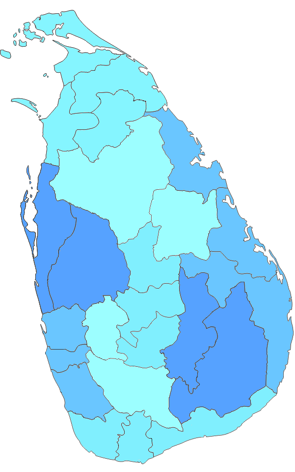
Na Srí Lance jsou okresy (sinhálsky: දිස්ත්රික්ක, tamilsky: மாவட்டம்) druhým stupněm správního členění. První úrovní jsou provincie. Každá provincie obsahuje několik okresů. V zemi je 25 okresů. Ty jsou uspořádány do 9 provincií. Každý okres je spravován pod vedením okresního tajemníka. Tajemníky jmenuje ústřední vláda.
Galerie obrázků
8 Obrázky


Co znamená „okres“ na Srí Lance
Okresy (districts) jsou hlavními administrativními jednotkami mezi provinciemi a nižšími místními celky. Slouží jako územní rámec pro koordinaci činností ústřední vlády, implementaci veřejných politik, řízení krizového a humanitárního zásahu, vedení evidence obyvatelstva a organizaci voleb. Do kompetencí okresních úřadů patří například koordinace rozvojových programů, dohled nad místní správou a spolupráce s municipálními a místními radami.
Správa okresů
Každý okres vede okresní tajemník (angl. District Secretary, dříve Government Agent), kterého jmenuje vláda. Okresní tajemník reprezentuje centrální správu v terénu, zajišťuje provádění vládních rozhodnutí a koordinuje činnost nižších správních útvarů. Okresy se dále dělí na divizní sekretariáty (Divisional Secretariats, někdy zkráceně DS) a ty na ještě menší jednotky, tzv. Grama Niladhari divisions, které jsou nejbližšími kontaktními místy pro občany.
Seznam provincií a jejich okresů
Srí Lanka má 9 provincií a 25 okresů. Níže jsou provincie s příslušnými okresy a jejich správními středisky (centry okresu):
- Západní provincie (Western Province)
- Colombo – centrum: Colombo
- Gampaha – centrum: Gampaha
- Kalutara – centrum: Kalutara
- Centrální provincie (Central Province)
- Kandy – centrum: Kandy
- Matale – centrum: Matale
- Nuwara Eliya – centrum: Nuwara Eliya
- Jižní provincie (Southern Province)
- Galle – centrum: Galle
- Matara – centrum: Matara
- Hambantota – centrum: Hambantota
- Severní provincie (Northern Province)
- Jaffna – centrum: Jaffna
- Kilinochchi – centrum: Kilinochchi
- Mannar – centrum: Mannar
- Vavuniya – centrum: Vavuniya
- Mullaitivu – centrum: Mullaitivu
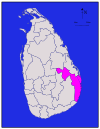
- Východní provincie (Eastern Province)
- Batticaloa – centrum: Batticaloa
- Ampara – centrum: Ampara
- Trincomalee – centrum: Trincomalee
- Severozápadní provincie (North Western Province)
- Kurunegala – centrum: Kurunegala
- Puttalam – centrum: Puttalam
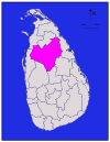
- Severocentrum (North Central Province)
- Anuradhapura – centrum: Anuradhapura
- Polonnaruwa – centrum: Polonnaruwa
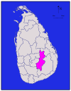
- Uva provincie (Uva Province)
- Badulla – centrum: Badulla
- Monaragala – centrum: Monaragala
- Sabaragamuwa provincie (Sabaragamuwa Province)
- Ratnapura – centrum: Ratnapura
- Kegalle – centrum: Kegalle
Krátká historická poznámka
Okresy jako administrativní jednotky mají kořeny v koloniálním období (britská správa) a během času prošly úpravami hranic a kompetencí. Současné rozdělení na 25 okresů je výsledkem postupného vývoje administrativní struktury nezávislé Srí Lanky.
Proč je rozdělení důležité
Okresní členění je používáno pro plánování a rozpočet, statistiku, vedení evidence obyvatelstva, školství, zdravotnictví, správu půdy a také při organizaci volebních okrsků nebo při koordinaci pomoci při přírodních katastrofách. Pro běžného uživatele jsou důležité při vyřizování úředních záležitostí, získávání povolení nebo kontaktu s místní správou.
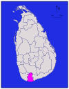
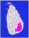
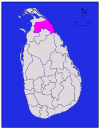
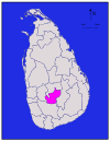
Okresy
Všechny údaje o počtu obyvatel pocházejí z posledního sčítání lidu na Srí Lance v roce 2012. Hustota zalidnění byla vypočtena na základě rozlohy země, nikoli celkové rozlohy (celková rozloha by zahrnovala i rozlohu řek a jezer).
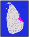
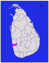
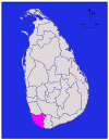
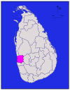
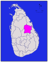
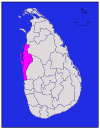
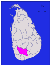
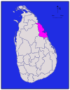
| Okres | Mapa oblasti | Provincie |
|
| Vnitrozemská | Celková | Počet obyvatel ( |
|
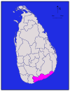
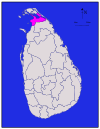
| Ampara |
| Ampara | 4,222 (1,630) | 193 (75) | 4,415 (1,705) | 648,057 | 153 (400) | |
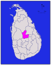
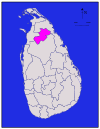
| Anuradhapura |
| Severní střední | Anuradhapura | 6,664 (2,573) | 515 (199) | 7,179 (2,772) | 856,232 | 128 (330) |
| Badulla |
| Uva | Badulla | 2,827 (1,092) | 34 (13) | 2,861 (1,105) | 811,758 | 287 (740) |
|
| Batticaloa | 2,610 (1,010) | 244 (94) | 2,854 (1,102) | 525,142 | 201 (520) | ||
| Colombo |
| Západní | Colombo | 676 (261) | 23 (8.9) | 699 (270) | 2,309,809 | 3,417 (8,850) |
| Galle |
| Jižní | Galle | 1,617 (624) | 35 (14) | 1,652 (638) | 1,058,771 | 655 (1,700) |
| Gampaha |
| Západní | Gampaha | 1,341 (518) | 46 (18) | 1,387 (536) | 2,294,641 | 1,711 (4,430) |
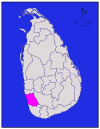
| Hambantota |
| Jižní | Hambantota | 2,496 (964) | 113 (44) | 2,609 (1,007) | 596,617 | 239 (620) |
|
| Severní | 929 (359) | 96 (37) | 1,025 (396) | 583,378 | 628 (1,630) | ||
| Kalutara |
| Západní | Kalutara | 1,576 (608) | 22 (8.5) | 1,598 (617) | 1,217,260 | 772 (2,000) |
| Kandy |
| Kandy | 1,917 (740) | 23 (8.9) | 1,940 (750) | 1,369,899 | 715 (1,850) | |
| Kegalle |
| Sabaragamuwa | Kegalle | 1,685 (651) | 8 (3.1) | 1,693 (654) | 836,603 | 497 (1,290) |
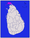
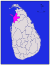
|
| Severní | Kilinochchi | 1,205 (465) | 74 (29) | 1,279 (494) | 112,875 | 94 (240) | |
| Kurunegala |
| Severozápadní | Kurunegala | 4,624 (1,785) | 192 (74) | 4,816 (1,859) | 1,610,299 | 348 (900) |
|
| Severní | Mannar | 1,880 (730) | 116 (45) | 1,996 (771) | 99,051 | 53 (140) | |
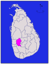
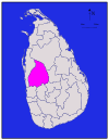
| Matale |
| Matale | 1,952 (754) | 41 (16) | 1,993 (770) | 482,229 | 247 (640) | |
| Matara |
| Jižní | Matara | 1,270 (490) | 13 (5.0) | 1,283 (495) | 809,344 | 637 (1,650) |
| Moneragala |
| Uva | Moneragala | 5,508 (2,127) | 131 (51) | 5,639 (2,177) | 448,142 | 81 (210) |
|
| Severní | Mullaitivu | 2,415 (932) | 202 (78) | 2,617 (1,010) | 91,947 | 38 (98) | |
| Nuwara Eliya |
| Nuwara Eliya | 1,706 (659) | 35 (14) | 1,741 (672) | 706,588 | 414 (1,070) | |
| Polonnaruwa |
| Severní střední | Polonnaruwa | 3,077 (1,188) | 216 (83) | 3,293 (1,271) | 403,335 | 131 (340) |
| Puttalam |
| Severozápadní | Puttalam | 2,882 (1,113) | 190 (73) | 3,072 (1,186) | 759,776 | 264 (680) |
| Ratnapura |
| Sabaragamuwa | Ratnapura | 3,236 (1,249) | 39 (15) | 3,275 (1,264) | 1,082,277 | 334 (870) |
|
| Trincomalee | 2,529 (976) | 198 (76) | 2,727 (1,053) | 378,182 | 150 (390) | ||
|
| Severní | Vavuniya | 1,861 (719) | 106 (41) | 1,967 (759) | 171,511 | 92 (240) | |
| Celkem | 62,705 (24,211) | 2,905 (1,122) | 65,610 (25,330) | 20,263,723 | 323 (840) |


Otázky a odpovědi
Otázka: Co jsou okresy na Srí Lance?
Odpověď: Na Srí Lance jsou okresy administrativním členěním druhého stupně.
Otázka: Co je na Srí Lance správní členění první úrovně?
Odpověď: První úrovní správního členění na Srí Lance jsou provincie.
Otázka: Kolik je na Srí Lance okresů?
Odpověď: Na Srí Lance je 25 okresů.
Otázka: Kolik je na Srí Lance provincií?
Odpověď: Na Srí Lance je 9 provincií.
Otázka: Kdo spravuje jednotlivé okresy na Srí Lance?
Odpověď: Každý okres na Srí Lance spravuje okresní tajemník.
Otázka: Kdo jmenuje okresní tajemníky na Srí Lance?
Odpověď: Okresní tajemníky na Srí Lance jmenuje ústřední vláda.
Otázka: Jak se na Srí Lance jmenuje správní členění v sinhálštině a tamilštině?
Odpověď: Správní rozdělení na Srí Lance se v sinhálštině nazývá "දිස්ත්රික්ක" a v tamilštině "மாவட்டம்".
Související články
Autor
AlegsaOnline.com Okresy Srí Lanky – přehled, rozdělení, počet a správa Leandro Alegsa
URL: https://cs.alegsaonline.com/art/27771
Zdroje
- commons.wikimedia.org : Districts of Sri Lanka
- priu.gov.lk : "At a Glance"
- ds.gov.lk : "Vision & Mission" · web.archive.org
- archives.dailynews.lk : "Kilinochchi a brief look"